Geographic Information Systems Services at M.C. Schaff Companies
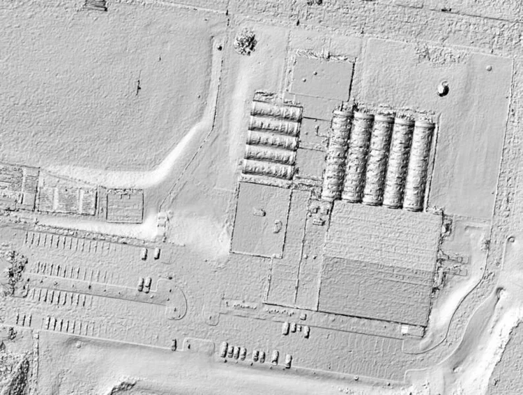
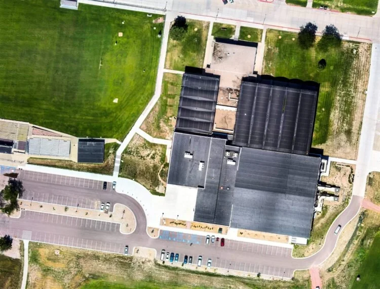
At M.C. Schaff Companies, we provide advanced Geographic Information Systems (GIS) solutions to help clients efficiently manage spatial data, streamline operations, and enhance decision-making. Our team specializes in mapping, data analysis, and system integration, ensuring that organizations have accurate and accessible geographic data for planning and asset management.
With expertise in data development, spatial analysis, and GIS modeling, we create customized solutions tailored to each client’s needs. Our GIS technology supports infrastructure planning, environmental assessments, land management, and utility mapping, delivering precise and actionable insights for various industries.
We also assist clients with data collection, conversion, and integration, ensuring that GIS systems are seamlessly implemented and easily accessible across platforms. By leveraging cutting-edge technology and industry best practices, we provide cost-effective solutions that improve efficiency and operational effectiveness.
Whether you need support for geospatial data management, mapping applications, or GIS-based analysis, M.C. Schaff Companies is your trusted partner in delivering innovative and reliable GIS solutions.