
Drone
Drone Services at M.C. Schaff Companies
At M.C. Schaff Companies, we offer professional drone services to enhance project planning, monitoring, and documentation. Our experienced, certified, and insured remote pilot specialists capture high-quality aerial imagery and data, ensuring safe, legal, and responsible operations.
With expertise in aerial photography, videography, and 3D modeling, we provide precise and actionable insights for various industries. Our drone services support inspection services, mapping and surveying, photogrammetric measurement, and marketing imagery, delivering comprehensive solutions tailored to each client's needs.
We also assist clients with residential and commercial real estate photography, offering dynamic visuals that enhance property listings and promotional materials. By integrating advanced drone technology with industry best practices, we deliver efficient and cost-effective services that elevate project outcomes.
Whether you require construction documentation, infrastructure inspection, or site promotion, M.C. Schaff Companies is your trusted partner for innovative and reliable drone services.
Services Include
Aerial Photography
Aerial Video
Inspection Services
Mapping & Surveying
3D Modeling
Photogrammetric Measurement
Residential Real Estate Photography
Commercial Real Estate Photography
Marketing Imagery
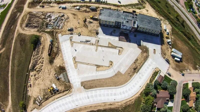
Construction Documentation
Site Ortho
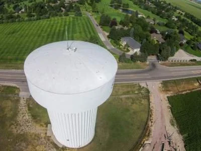
Water Tower Inspection | Local government maintains current records of infrastructure including condition. Drone aerial and oblique imagery provides high resolution visuals for reports and presentations.

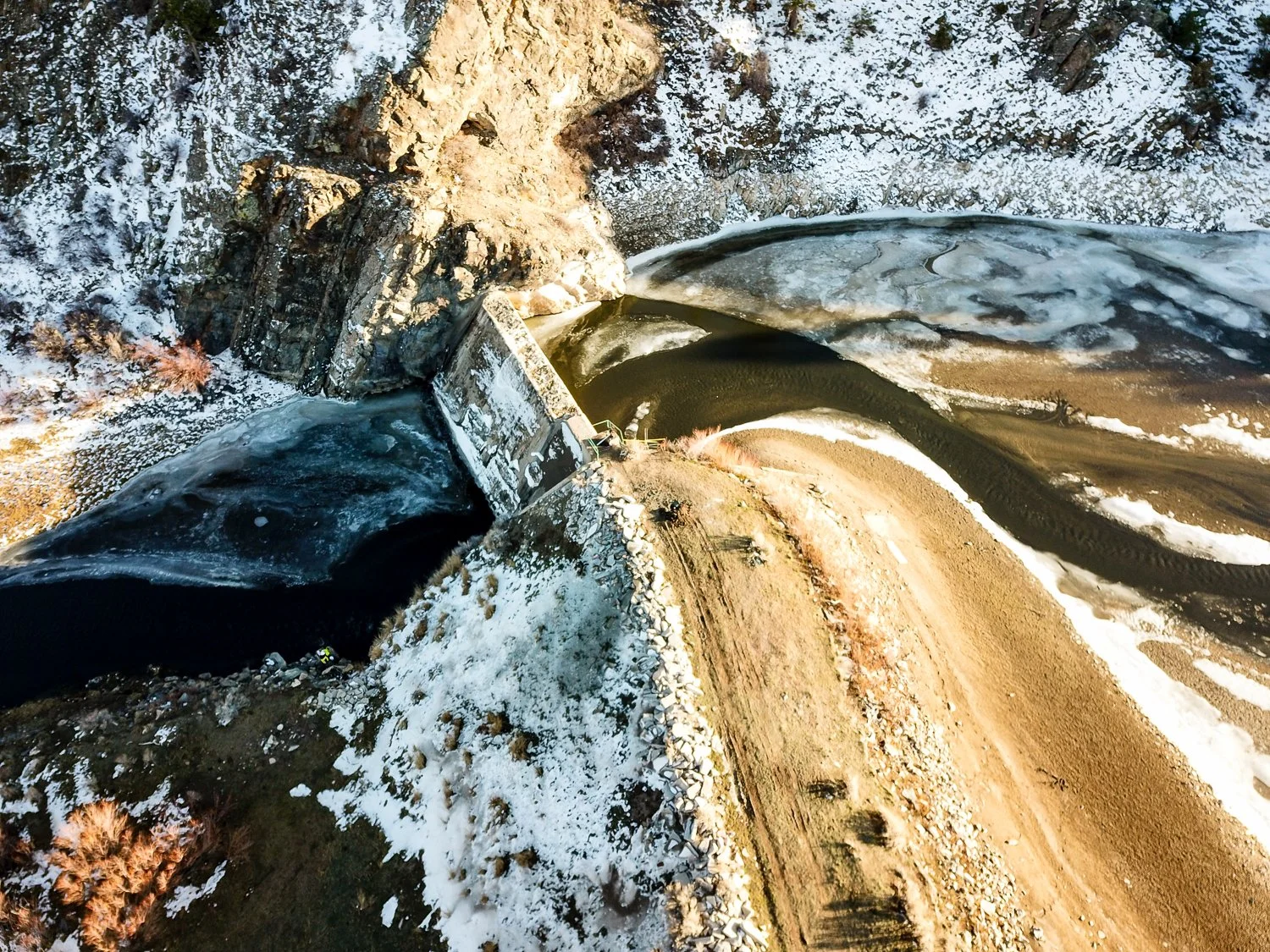
Site Modeling – Hydrology Study | This 3D model was developed as part of a hydrological study study performed by MCS. Additional products resulting from this nadir flight are high resolution aerial photography, digital surface model (DSM), and 2′ contours.

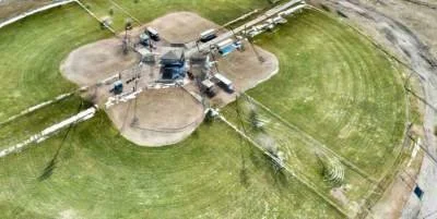
Water Tower Inspection | Timely response following damaging wind event, providing up-close view of potentially dangerous situation.

Geotech
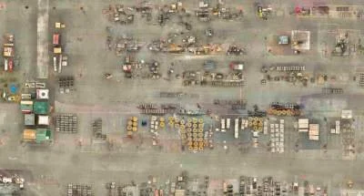
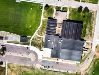
Indoor Orthomosaic | What better way to picture your indoor facility, processes, and inventory than with a view from above. High resolution detail of complex industrial sites provide just the perspective needed for managing complex logistics.
Quantities Calculations | 3D Mapping using high resolution drone images provides accurate and timely volume determinations as well as 3D site model, digital surface model, and contours.
Site Modeling – Hydrology Study | This 3D model was developed as part of a hydrological study study performed by MCS. Additional products resulting from this nadir flight are high resolution aerial photography, digital surface model (DSM), and 2′ contours.
Site Promotion
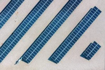
Solar Panels

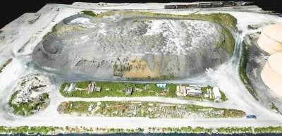
Landfill Contours | As-built, digital surface model, contours, aerial imagery
Client’s We’ve Worked With


Department Leadership

Susan Myers
GIS Director, Drone Department Manager, sUAV Pilot
Phone: 308.635.1926
Email: smyers@mcschaff.com
Start Date: 1/29/2003