
Geographic Information Systems
Geographic Information Systems Services at M.C. Schaff Companies
At M.C. Schaff Companies, we provide advanced Geographic Information Systems (GIS) solutions to help clients efficiently manage spatial data, streamline operations, and enhance decision-making. Our team specializes in mapping, data analysis, and system integration, ensuring that organizations have accurate and accessible geographic data for planning and asset management.
With expertise in data development, spatial analysis, and GIS modeling, we create customized solutions tailored to each client’s needs. Our GIS technology supports infrastructure planning, environmental assessments, land management, and utility mapping, delivering precise and actionable insights for various industries.
We also assist clients with data collection, conversion, and integration, ensuring that GIS systems are seamlessly implemented and easily accessible across platforms. By leveraging cutting-edge technology and industry best practices, we provide cost-effective solutions that improve efficiency and operational effectiveness.
Whether you need support for geospatial data management, mapping applications, or GIS-based analysis, M.C. Schaff Companies is your trusted partner in delivering innovative and reliable GIS solutions.
Services Include
DATA DEVELOPMENT & MANAGEMENT
GIS ANALYSIS & MODELING
DATA COLLECTION, CONVERSION, INTEGRATION, OUTPUTS
Full List of Services

DSM flight lines photos

Hillshade

Oblique Bridge Photo

Orthophoto
Client’s We’ve Worked With


Department Leadership

Susan Myers
GIS Director, Drone Department Manager, sUAV Pilot
Phone: 308.635.1926
Email: smyers@mcschaff.com
Start Date: 1/29/2003
Full Services
DATA DEVELOPMENT & MANAGEMENT
GIS development & analysis
Focused mapping applications & integration—desktop, online, smart devices, GPS
Geospatial database development
Orthoimagery, DEM, DTM
Land Records, Water Resources, Public Works, Emergency Services, Planning & Development, Schools, Elections
Custom mapping solutions
Industry standards and best management practices
GIS ANALYSIS & MODELING
Industry-specific knowledge
System mapping, modeling, assessments, planning
Your entire organization
Local Governments GIS
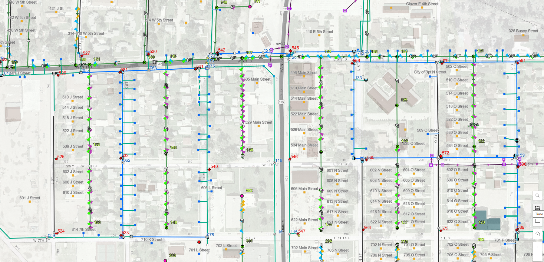
Infrastructure & Utilities
Water distribution
Wastewater collection
Stormwater conveyance
Electrical distribution
Telecommunications
Transportation—road network, pavement management, 1&6 year plans, lane-mile report, signage
3D visualizations
Environment & natural resources
Flood analysis
Economic impacts
Spatial analysis
Custom solutions
DATA COLLECTION, CONVERSION, INTEGRATION, OUTPUTS
Survey & Data Capture
Topographical mapping
Cadastral mapping
GPS services (submeter, subfoot, 1-2 cm)
Digitization—Convert into desired digital format
High-resolution document scanning & digitization
CAD to GIS data conversion, including SDSFIE & Airports GIS
2D to 3D conversion
Raster to vector
Georeferencing
Digital Photogrammetry Services
sUAV (drone) services
Digital Elevation Model (DEM)/Digital Terrain Model (DTM)
Orthoimagery
Contours
Indoor Mapping
Industrial buildings
Complex interiors
Photo data collection & outputs
sUAV (drone) & terrestrial
Photogrammetric processing
Interior orthoimagery